Leveraging cutting-edge tools and technologies, Virtus Heritage offers various specialist geospatial services, including mapping, data collection, drone photography, photogrammetry, and ground-penetrating radar (GPR).
Our team specialises in combining these disciplines to deliver industry-leading products to help further our knowledge and understanding of archaeological sites.
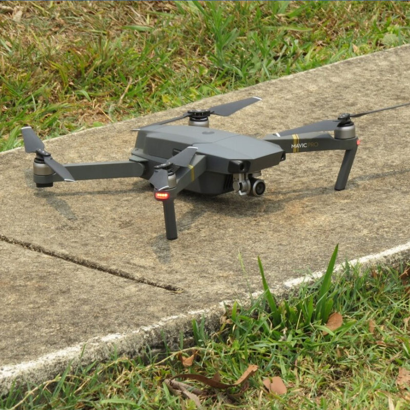
Virtus Heritage employs drone photography to capture current, high-resolution images and videos for recording archaeological sites, heritage features, excavation areas, and Ground Penetrating Radar (GPR) grids. With this technology, we geographically reference locations and features under scrutiny, providing clients with comprehensive overviews of archaeological sites. This includes identifying local landforms (geomorphology) and creating digital elevation models (DEMs).
Photogrammetry
Our consultants are proficient in photogrammetry, a technique that extracts 3D information from photographs. Using drone photography, our consultants capture high-quality images and videos of archaeological and heritage sites. This expertise allows us to construct digital models of artefacts and archaeological features, aiding assessment and reporting for a range of project requirements.
Geographic Information System (GIS) and Geomorphology
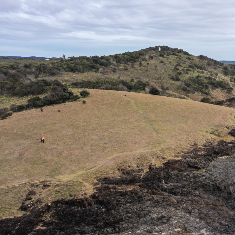
Our team specialises in Geospatial Information Systems (GIS) and mapping, regularly utilising drone photography for georeferencing in GIS, cultural mapping, and geomorphological assessments.
Geomorphology involves the study of landforms and their formation. Virtus Heritage offers geomorphological assessments to enhance archaeological interpretation and maintains a technical partnership with Dr Peter Mitchell OAM, one of Australia’s leading geomorphologists.
Ground Penetrating Radar (GPR)
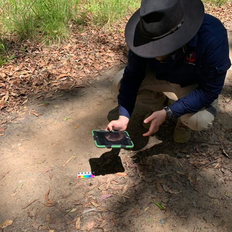
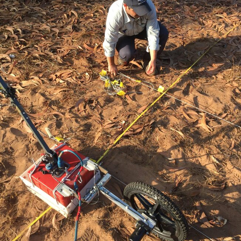
We utilise Ground-Penetrating Radar (GPR), a non-invasive geophysical technique that sends radar pulses from the surface into the ground to detect buried features and objects. This technology enables us to construct an underground picture of the environment.
Virtus Heritage is well-equipped to conduct GPR surveys, specialising in graves, cemeteries, and archaeological site mapping. Our technical partnership with Professor Lawrence Conyers, the world’s foremost expert in GPR for archaeology, positions us as Australia’s premier provider of GPR services in archaeology.
Our GPR projects are pioneering new approaches in archaeological practice and have gained recognition through media articles and prominent archaeological publications and journals.
Our team collaborated on a cultural values study with the Bandjalang Aboriginal Corporation (BAC) to conduct cultural site surveys at their spiritual lands in the...
In 2022, Virtus Heritage completed an Archaeological Landscape Management Plan (ALMP) for the State significant Yooroonah Tank Barrier at Ebor for NSW National Parks and...
We are proud to share the National Guide for Aboriginal and Torres Strait Islander Communities to Identify and Protect Unmarked Graves and Cemeteries for communities...
Virtus Heritage was engaged by GHD Pty Limited (GHD) on behalf of NSW Roads and Maritime Services (RMS) to undertake archaeological investigations for the New...
If you’d like to work with us or need guidance on how our archaeology and cultural heritage services can support a project you have in mind, let’s start a conversation.
Address: Suite 17/11-13 Pearl St, Kingscliff 2487 NSW